

While Oklahoma experienced severe weather, including tornado warnings this week, a U.S. House committee announced plans to hold a hearing to examine the role of the nation’s weather satellite architecture in supporting national security.
The announcement by Rep. Brian Babin, Chairman of the House Science, Space and Technology Committee said the hearing will review how the National Oceanic and Atmospheric Administration (NOAA) works with the U.S. Air Force and Navy to meet critical weather data needs for strategic and operational readiness. Members will also discuss interagency coordination, data security, and priorities for improving the collection, distribution, and use of weather data.
“Weather satellites play a critical role in protecting our national security and ensuring the safety of Americans at home and abroad,” said Chairman Babin. “This hearing will examine how our civil and defense agencies work together to deliver the reliable, secure data our military and decision-makers depend on every day. I look forward to a productive discussion on how Congress can strengthen these partnerships and capabilities moving forward.”
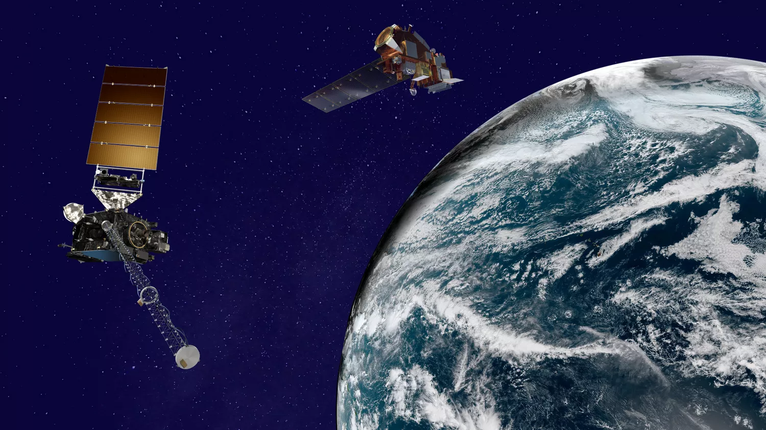
Geostationary Operational Environmental Satellites (GOES) enable continuous coverage of severe weather threats in the U.S., while the polar-orbiting Joint Polar Satellite System (JPSS) satellites deliver higher resolution global observations for long-term forecasting. Together, these advanced satellites help safeguard lives and property.
GOES
NOAA’s GOES-R Series is the most advanced weather-observing system in the Western Hemisphere. Orbiting at an altitude of approximately 22,300 miles up, GOES East (GOES-19, previously GOES-16) and GOES West (GOES-18, previously GOES-17) show near real-time views of developing storms over the Atlantic from the west coast of Africa across the Americas and much of the Pacific. Their data helps forecasters issue earlier warnings to protect lives and property.
Because GOES satellites stay above a fixed spot on the surface, they keep a constant vigil for the atmospheric “triggers” for severe weather conditions, such as severe thunderstorms, tornadoes, large hail and flash floods. When these conditions develop, the GOES satellites are able to monitor storm development and track their movements.
Subcommittee Hearing – From Orbit to Operations: How Weather Satellites Support the National Security Mission
Witnesses:
- Ms. Irene Parker, Deputy Assistant Administrator for Systems, NOAA’s National Environmental Satellite, Data, and Information Service (NESDIS)
- Col. Bryan Mundhenk, Chief, Weather Operations Division, United States Air Force
- Dr. Christopher Ekstrom, Deputy Chief of Naval Operations for Information Warfare (N2N6); Deputy Director, Oceanography & Navigation, United States Navy